
Camp Colton is a residential environmental education center operated by the Flagstaff United School District and located near Hart Prairie, on the west side of the San Francisco peaks. It sits between the Arizona Snowbowl and the Arizona Nordic Center. Sixth grade students in Flagstaff have the opportunity to spend the better part of a week at Camp Colton learning about nature and science. Alatna Richardson loved her 4 days at the Camp in late-May 2026—despite nighttime temperatures well below freezing.
In 2020, former lab member Aaron Teets installed a weather station and a set of dendrometers at the Camp, with some of that data being published in his 2026 Tree Physiology paper, “Opportunistic growth phenology and water use of semi-arid tree species of northern Arizona”. New dendrometers were installed in late 2023, and have been running ever since.
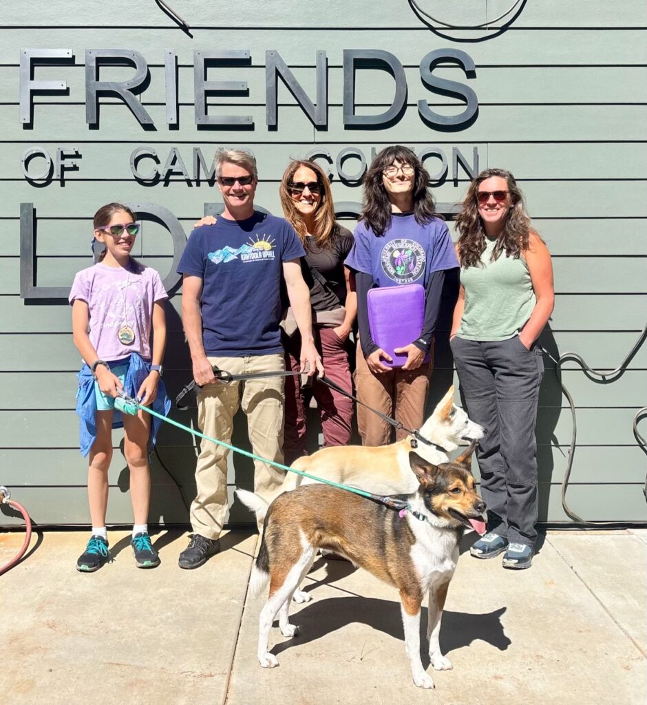
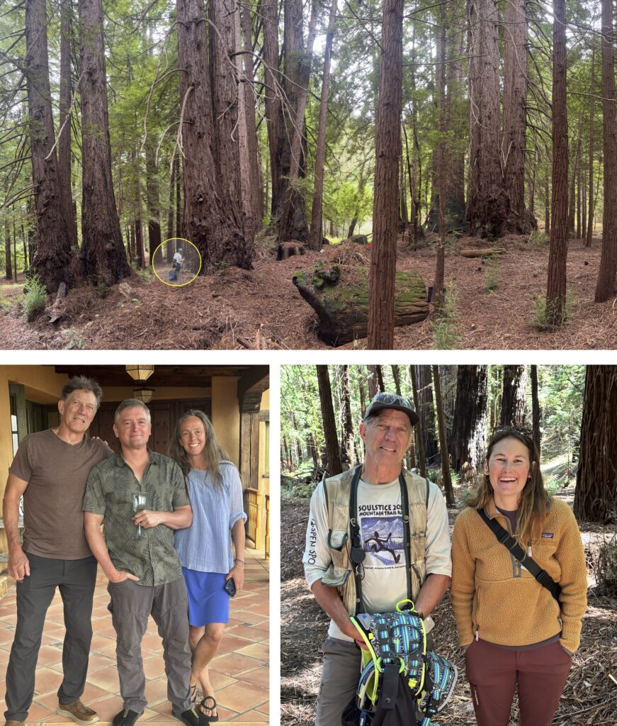
On a beautiful fall morning in September, Andrew, Mariah, Alatna, and Oscar made the trip out to Camp Colton to check on the dendrometers and meet up with Friends of Camp Colton Executive Director Ari Wilder as well as NAU Vice President for Research Jason Wilder. The team had a chance to tour the new Camp Colton lodge, which will open for the summer of 2027. Pups Kivi and Tui greatly enjoyed the time outdoors.
Visual evaluation of the downloaded data suggests that in a normal year, the ponderosa pine at this site (elevation 2690 m) rely on snowmelt, rather than monsoon precipitation, to support wood growth.